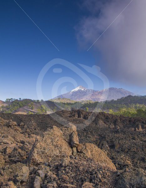
During the Devonian period, 350 – 400 million years ago Shetland lay near the Equator at the heart of large supercontinent and experienced a tropical climate, which varied from wet and humid to dry and arid. The Eshaness volcano lay at the north end of a broad valley containing a massive freshwater lake called Lake Orcadie. The spectacular cliffs you see today cut right through the flank of what was the Eshaness volcano. It has been described as ‘the best section through the flank of a volcano in the British Isles’ The cliffs reveal layer upon layer of lava and ‘pyroclastic’ rock, (volcanic ash that was blasted through the air from the volcanic crater). As eruption followed eruption, these layers built up rapidly. They formed a very steep and unstable cone around a central vent, from which the lava and ash continued to spew. Although the cone at Eshaness eroded away long a fascinating array of volcanic features remain. These have been brought to life by Geopark Shetland in the self-guide trail ‘Shetland’s Volcano’.
JPG Raster, 12.59 MB
Resolution: 5445x3630
Camera Make: Canon
Camera Model: Canon EOS 7D Mark II
Focal Length: 24/1
Aperture: f/22.0
ISO: 500
Lens: EF24-105mm f/4L IS USM
Shutter Speed: 1/50
Resolution: 5445x3630
Camera Make: Canon
Camera Model: Canon EOS 7D Mark II
Focal Length: 24/1
Aperture: f/22.0
ISO: 500
Lens: EF24-105mm f/4L IS USM
Shutter Speed: 1/50